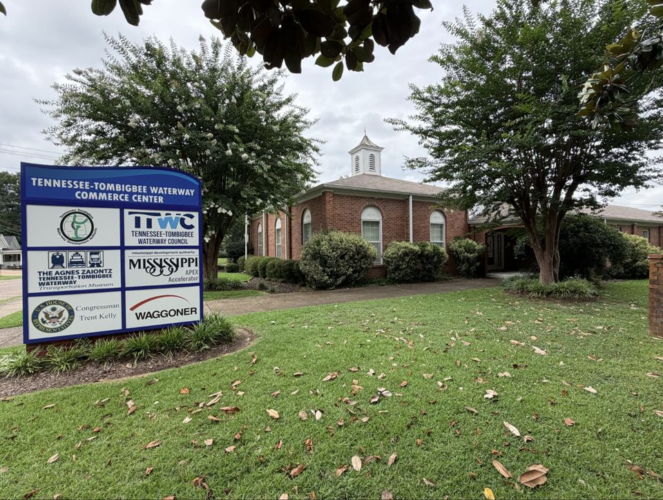
From portage trail to marine highway.
-
1770s
An idea older than the nation
French explorers and early settlers note how close the Tennessee River comes to the headwaters of the Tombigbee: a short portage separating two great river systems, and a shortcut from the interior to the Gulf.
-
1874
The first federal survey
Army engineers formally study a canal connecting the rivers. The dream has a route, but the technology and the will to build it are still a century away.
-
1946
Congress says yes
The waterway is finally approved by Congress. Authorization, however, is not appropriation: the fight for funding begins.
-
1958
Four states, one compact
Congress ratifies the interstate compact creating the Tennessee-Tombigbee Waterway Development Authority: Alabama, Kentucky, Mississippi, and Tennessee, united to see the waterway completed and put to work. The Authority has championed the project ever since.
-
1968
The turning point
Political momentum builds as President Johnson budgets funds to start engineering and design. The waterway moves from map to blueprint.
-
1972
Construction begins
With funding included in the President's budget, actual construction begins. Over the next twelve years, crews excavate roughly 310 million cubic yards of earth, more than was moved to build the Panama Canal.
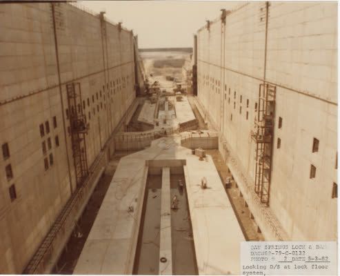
Lock chamber under construction -
1984
The last cut is made
Construction wraps in December 1984: 234 miles of channel, ten locks and dams, and a 27-mile divide cut through the ridge separating the two river basins, one of the largest civil works projects in American history.
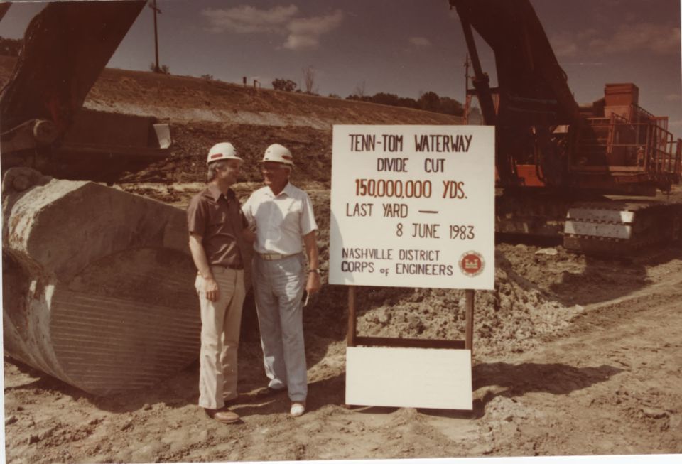
Divide Cut excavation milestone · June 8, 1983 -
1985
Open for commerce
The first commercial tows transit the waterway in January 1985, and the corridor celebrates its formal dedication that June. A two-century-old idea is now a working American waterway.
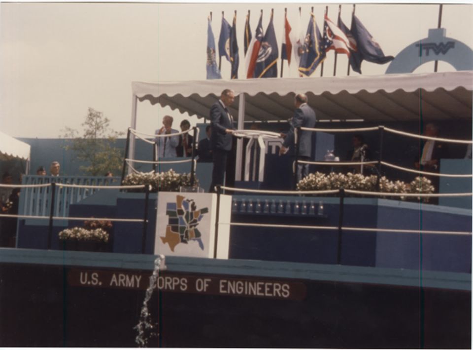
Dedication ceremony, 1985 -
2010
Marine Highway M-65
The U.S. Department of Transportation designates the corridor as Marine Highway M-65: more than 1,300 miles spanning five river systems, with TTWDA as the route's official sponsor.
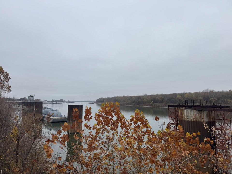
Paducah, the northern anchor of M-65 -
Today
The promise, delivered
The waterway continues to support commerce, industry, and recreation. Its story is still being written.
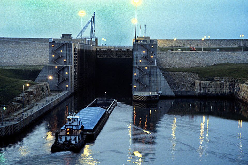
Jamie Whitten Lock & Dam, today